Curve & Grade
Road geometry for your organization
Curve and Grade data is difficult and time-consuming to collect. Additionally, these datasets are required components for HPMS, MIRE reporting, and safety planning. So how can government organizations know the condition of their entire road network, without having to spend the time and resources it takes to collect this information? Cyclomedia leverages the most advanced AI and Machine Learning technologies to deliver customers consistent and precise curve and grade data to support their HPMS, HSIP and Strategic Highway Safety Plan requirements.
Our Curve & Grade product allows you to virtually assess your road geometry at a network-wide level, quickly identifying areas of concern or reporting your HPMS data through a streamlined process.
Past product launch webinar- free recording available!
Want to learn more? Cyclomedia hosted a free webinar to launch our Curve & Grade Product. If you missed it, don't worry, the recording is available for free! This webinar recording includes:
- Introduction to the data
- Use Cases and discussion
- Demonstration of the solution
- Q & A session with the panel

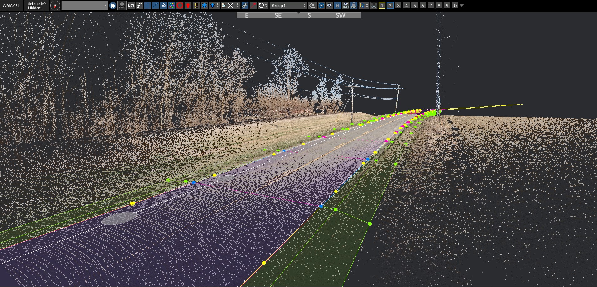
Knowing curve & grade information is essential to preserving our roads and keeping our drivers safe. However, it can take months to send personnel into the field to asses an entire road network, not to mention the cost. So, Cyclomedia devised a fully automated process leveraging AI and ML technology to extract all your roadway’s curve and grade data elements. Cyclomedia uses our patented high precision collection system, the DCR10, equipped with a mobile LiDAR sensor casting out a 360° 3D mesh of both the road and surrounding right-of-way to provide an overall view of your
roadways geometric values.
Product features

Curve
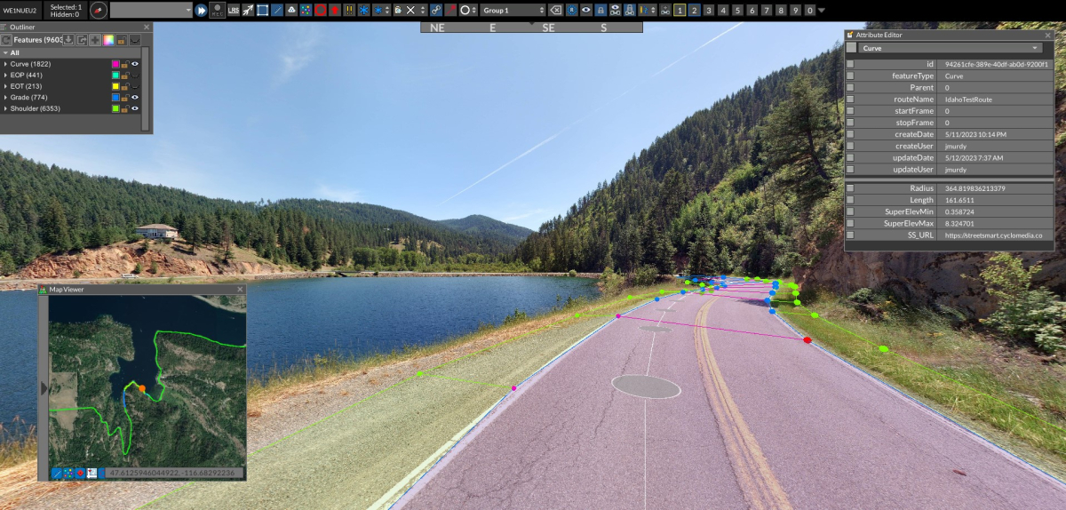
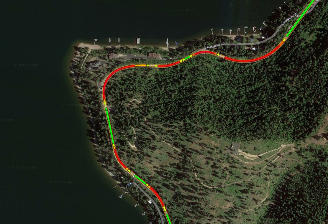
Curve is delivered as a polygon feature encompassing the entire travel area of the roadway. A new polygon will be started anytime the curve radius changes by more than 5% or if 1/10th of a mile is reached.
Grade
Grade is delivered as a polygon feature encompassing the entire roadway travel area. A new polygon is started when the grade changes by more than 1% or if 1/10th of a mile is reached.

Shoulder slope
Shoulders are delivered as two features represented as a polygon encompassing 2ft from the edge of travel plus 3ft beyond. A new polygon will be started when the slope changes by more than 1% or if 1/10th of a mile is reached.
Cross section
Cross sections are delivered every 15ft as polyline features along the entire road network. The feature will extend from the edges of travel and represent the elevation changes along the road cross-section.


