Turning reality into actionable public sector insights
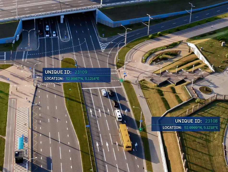
Cyclomedia captures real-world streets and assets in high-resolution 360° imagery and LiDAR, delivering accurate, up-to-date, complete context in Street Smart so authorities can act with evidence and track change over time.


Local governments need current, reliable real‑world data
Local and regional authorities face ageing infrastructure, rising service expectations, and limited capacity. Without accurate, up-to-date, complete data, planning becomes reactive, inefficient, and difficult to justify across departments and stakeholders.

Poor visibility into the condition of roads, assets, and public spaces
Manual inspections are slow, costly, and inconsistent across teams
Fragmented datasets make collaboration between departments difficult
Outdated records undermine longterm planning and accountability

Turning public space into measurable, actionable intelligence
Cyclomedia provides high-resolution 360° imagery, LiDAR, and AI-powered extraction, delivered through Street Smart. Insights that gives local governments a measurable foundation for asset management, mobility, planning, and community services. Authorities gain accurate, up-to-date, complete evidence and can track changes over time.
Public works and maintenance:
Inspect roads and assets remotely using precise measurements to prioritise maintenance and reduce field visits.
Urban & spatial planning:
Visualize neighbourhoods, zoning context, and development impacts using measurable, street-level reality.
Property & tax assessment:
Verify properties using measurable imagery and LiDAR to support valuations and strengthen appeals processes.
Transportion & mobility:
Analyse corridors, network conditions, and safety issues using accurate LiDAR and imagery for road owners.
Risk and resilience:
Monitor environmental change, hazard zones, and vulnerable areas using repeatable capture to track change over time.
Accurate, up-to-date, complete evidence for authorities
European authorities need accuracy, actuality, and completeness to justify decisions and improve services. Cyclomedia provides a consistent, defensible view of public space that supports efficient Street Smart workflows, aligns teams across departments, and makes change over time visible for planning, reporting, and operations.
Defensible, high precision data
360° imagery and LiDAR provide measurable accuracy for planning, audits, assessments, and compliance.
Reduced field time and operational cost
Teams replace site inspections with remote analysis, saving time, reducing travel, and improving consistency.
One shared source of truth
A unified, measurable view supports alignment across Public Works, Planning, GIS, and Operations teams.
Up-to-date insights and change over time
Current and historical capture helps teams validate what changed, where it changed, and when it changed.
Street Smart efficiency and integration
Easy-to-use Street Smart workflows support fast, manual review and integrate with existing GIS environments.