Seamlessly integrate geospatial data into your workflows
Cyclomedia’s APIs and ready‑to‑use integrations enable teams to connect street‑level imagery, LiDAR data, and geospatial intelligence directly into GIS, CAD, CAMA, engineering, and assessment systems. Reduce manual steps, support decision‑making, and extend the value of existing applications.


Connect Cyclomedia data with the platforms that power operational, planning, and assessment workflows
Cyclomedia’s APIs and integrations provide access to street‑level imagery, LiDAR data, and geospatial insights directly within the systems your teams already use. This reduces manual steps, improves data consistency, and supports confident decision‑making.
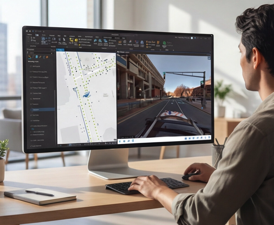
GIS interoperability
Use imagery and LiDAR data within enterprise GIS platforms to support mapping, validation, and operational analysis.
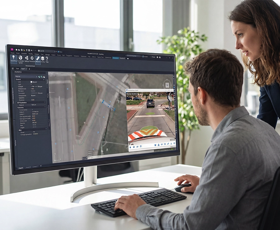
CAD and engineering support
Bring visual context and measurements into design workflows to support planning, review, and site preparation.
Assessment system alignment
Integrate data for property assessment, permitting, and tax review processes to support consistent decisions.
Data accessibility
Access authoritative imagery and LiDAR datasets through APIs for internal tools or custom workflows.
Operational efficiency
Reduce exporting, file handling, and manual data transfers between applications.
Scalable connections
Support large teams and high‑volume usage through integrations designed for enterprise environments.
Consistent information
Ensure every department works with the same accurate geospatial data.
Flexible implementation
Use APIs, prebuilt connectors, or embedded solutions based on technical and organizational needs.
Future‑ready foundation
Support modernization initiatives and digital twins as system landscapes continue to evolve.