Data-driven insights for safer, more accessible streets
Cyclomedia delivers accurate, geospatially aligned pedestrian asset data—curb ramps, signals, pushbuttons, sidewalks, and crosswalks—so agencies can improve accessibility planning, strengthen safety programs, and support informed decision-making.


Understand the pedestrian network with reliable data
Cities and transportation agencies rely on accurate pedestrian asset data to improve mobility and plan for accessibility. Cyclomedia provides consistent, high-accuracy datasets that make it easier to locate, assess, and maintain curb ramps, signals, crosswalks, and sidewalks across the entire network.


A foundation for accessibility planning and safer mobility
Manual inspections alone cannot provide a complete or current view of pedestrian infrastructure. Cyclomedia centralizes geospatial data for ramps, signals, pushbuttons, and walkways, enabling agencies to identify gaps, plan improvements, and support ADA transition planning with confidence.
Where pedestrian safety data delivers impact
Cyclomedia helps public works, planning, and transportation teams evaluate pedestrian infrastructure, identify accessibility needs, and prioritize improvements using consistent, network-wide insights.
ADA transition planning
Use detailed ramp, signal, and walkway data to support ADA transition planning and long-term accessibility programs.
Pedestrian network inventory
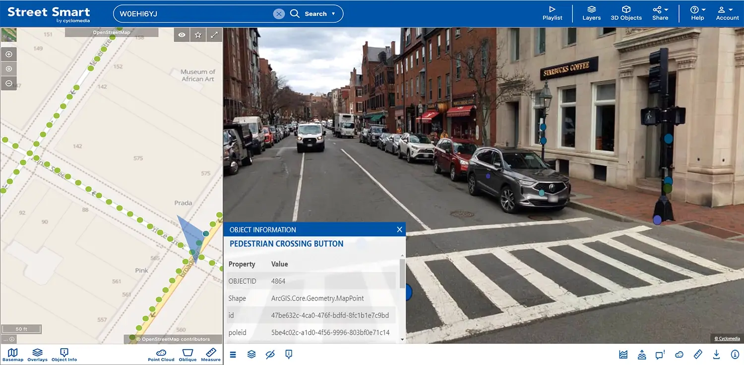
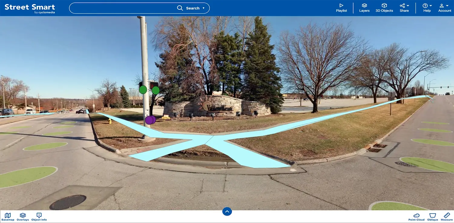
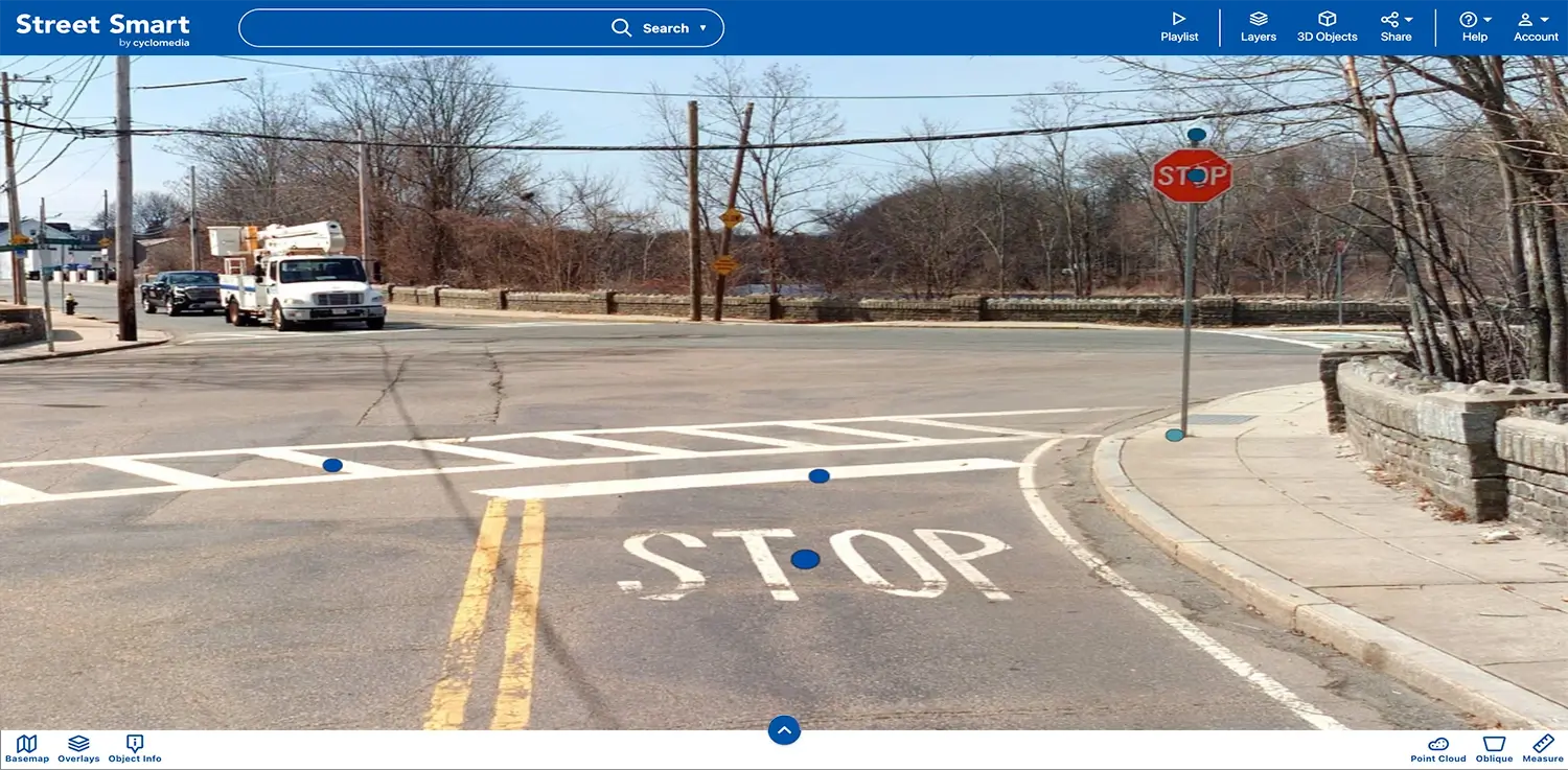
Locate and assess curb ramps, crosswalks, pushbuttons, and sidewalks to maintain an accurate pedestrian asset record.
Safety & mobility improvements
Identify gaps and risks in pedestrian routes to support safer street design and more equitable mobility access.
Solutions that strengthen pedestrian safety decisions
Cyclomedia delivers geospatially aligned datasets for key pedestrian assets, supporting accessibility planning, network analysis, and mobility safety assessments.
Pedestrian ramps
Identify ramp locations and attributes to support accessibility planning and upgrade prioritization.

Pedestrian signals
Access accurate signal locations and attributes to support safer crossings and mobility planning.
Pushbuttons
Map pedestrian pushbutton locations and conditions to support accessibility and walkability analysis.
Sidewalks
Evaluate sidewalk presence and attributes to support maintenance planning and accessibility strategies.
Crosswalks
View crosswalk coverage and characteristics to improve pedestrian safety and intersection design.
Geospatial alignment
All pedestrian assets are delivered with accurate x, y, z coordinates to support GIS workflows.
Network-wide coverage
Assess pedestrian assets consistently across the entire roadway network without repeated field visits.
Planning support
Use integrated datasets to inform mobility planning, accessibility studies, and prioritization efforts.
Infrastructure intelligence
Combine pedestrian datasets with broader infrastructure intelligence for more complete planning context.