Turn your city into a data‑driven digital twin
Cyclomedia helps cities build a living digital twin that supports planning, mobility, sustainability, and public safety—so you can make better decisions with fewer site visits and clearer insights.


A smart city is a connected, visualized, digital city
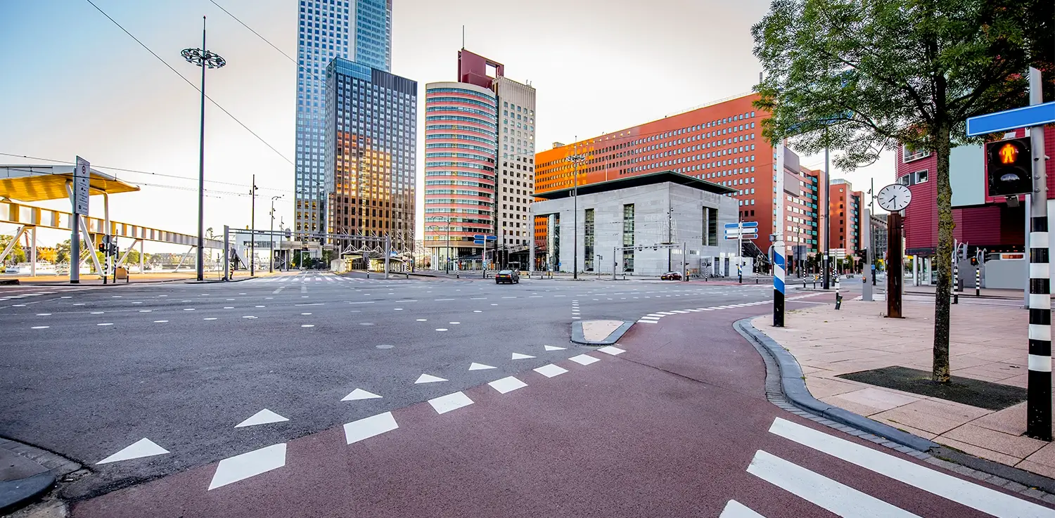
Cities face growing pressure from population growth, climate change, and increasing expectations from residents. Cities are complex: infrastructure, transport, housing, construction, and sustainability all interact every day. Cyclomedia adds a visual data layer—360° street‑level imagery, LiDAR data, and 3D city models—so you can understand how everything connects and manage your city as a single, digital system.

From scattered systems to one shared view of the city
Smart city initiatives often start in silos: mobility, public safety, tax, and sustainability each use different tools. Cyclomedia creates a single, photorealistic digital canvas of your city that departments can explore, measure, and enrich with their own data—reducing duplication, improving coordination, and speeding up decisions.
How cities use digital twins to improve everyday decisions
Cyclomedia supports three core smart city ambitions: becoming a future city with digital workflows, a safe city with better situational awareness, and a green city that plans infrastructure and climate measures more effectively.

Future city: Digital‑first services
Use a city‑wide digital twin to support planning, tax assessment, citizen engagement, and project review—without sending staff to every location.

Safe city: Situational awareness
Give control rooms, police, and fire services detailed street‑level context so they can plan routes, assess access, and prepare for incidents in advance.
Green city: Climate and sustainability
Apply visual and 3D data to analyze trees, surfaces, heat, drainage, and solar potential to support greener streets, better water management, and energy planning.
Smart city solutions built on real‑world visual data
Cyclomedia combines 360° imagery, LiDAR data, and 3D city models in the Street Smart platform so cities can design, test, and communicate smart city projects with clear, shared visuals.
City‑wide digital twin
Create a photorealistic 3D model of your city to explore streets, buildings, and assets virtually, from any desk.
360° Street‑level imagery
Use high‑resolution, georeferenced imagery to inspect streets, assets, and building façades without repeated field visits.
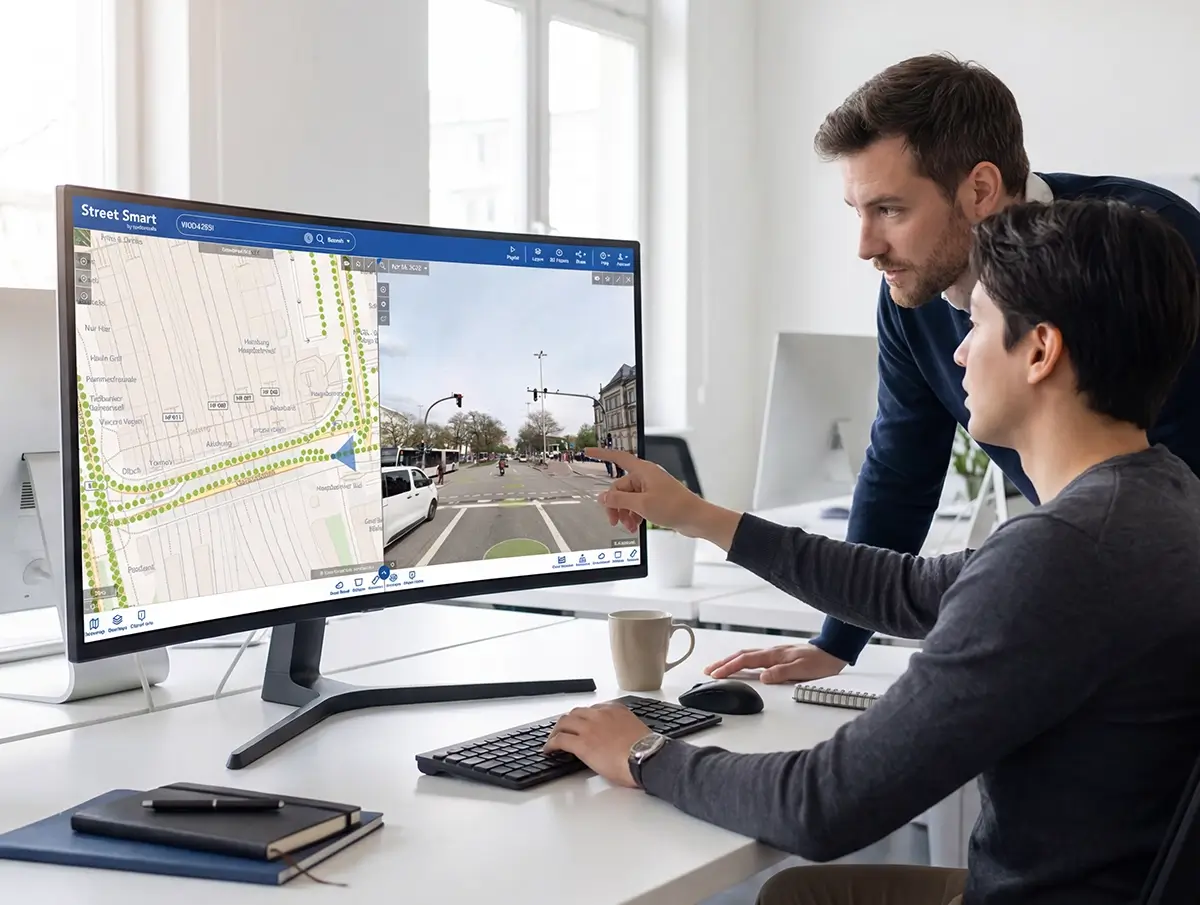
Street Smart
View imagery, LiDAR, and overlays in one browser‑based workspace for planning, inspections, and stakeholder reviews.
LiDAR and 3D city models
Leverage LiDAR‑based elevation and geometry to support design checks, accessibility reviews, and climate‑related analyses.
Smart mobility insights
Support bike lane expansion, traffic calming, and corridor studies with accurate visual data and network‑wide measurements.
Property & land use tools
Use visual data to support property assessment, permit checks, and municipal land use workflows from a single, shared view.
Asset & infrastructure mapping
Maintain up‑to‑date inventories of lights, signs, trees, and other public assets to improve maintenance and budgeting.
Developer portal & integrations
Integrate Cyclomedia data into existing GIS, smart traffic, or city apps via APIs, enabling custom smart city solutions.
Governance & stakeholder support
Use shared visuals and data stories to explain projects, build support, and make funding discussions more transparent.