Support fair, transparent property assessments
Cyclomedia gives Assessment Professionals Imagery that exceeds IAAO standards, Lidar which provides the end user the ability to make sub-inch accurate measurements, and PropertyQC analytics so you can review properties from your desk, keep valuations current, and document decisions with clear, defensible evidence.

A reliable visual foundation for modern property assessment
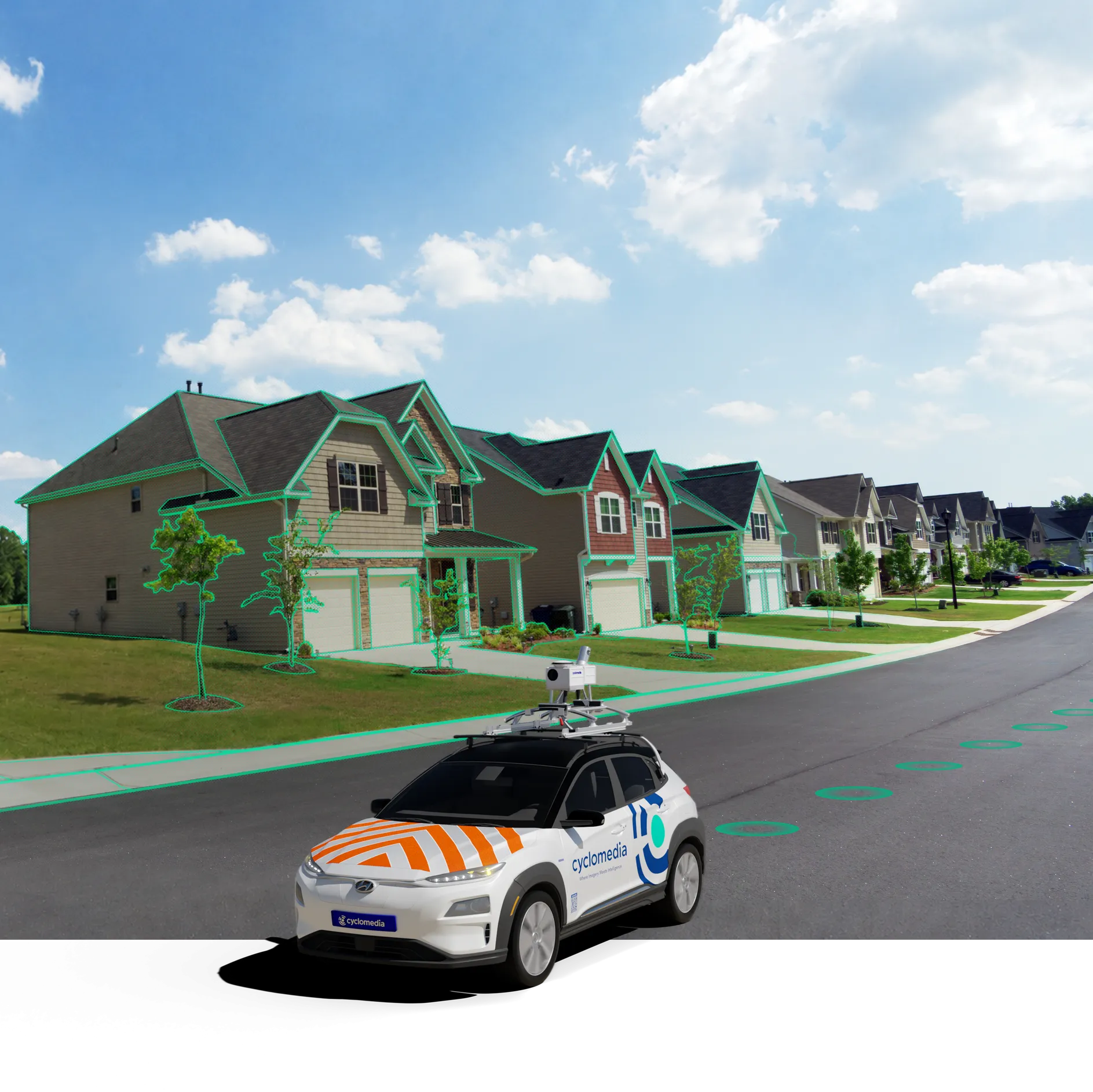
Assessment offices are under pressure to do more with fewer staff while maintaining fair, transparent valuations. Cyclomedia combines high‑resolution 360° Street‑Level Imagery, LiDAR Data, and PropertyQC analytics so you can verify condition, capture changes, and manage challenging properties without constant fieldwork.

From periodic site visits to structured desktop review
Traditional re‑inspection cycles depend on periodic site visits and partial records, making it hard to keep up with growth and identify risks early. Cyclomedia supports IAAO MARP (3.3.5) computer‑assisted office review with imagery and data that let you see every property from multiple angles, measure with confidence, and focus field visits where they matter most.
Where imagery and PropertyQC strengthen tax rolls
Cyclomedia supports end‑to‑end assessment workflows—from mass appraisal and CAMA updates to remote re‑inspections and targeted programs for vacant, abandoned, and deteriorated properties that affect your tax base.
Mass appraisal & CAMA workflows
Use IAAO‑aligned imagery and measurements to validate characteristics, support desktop reviews, and update CAMA records without sending appraisers to every parcel.

Remote re‑inspections & compliance
Supplement field re‑inspections with computer‑assisted office review, documenting condition changes and supporting IAAO MARP standards while reducing field time.
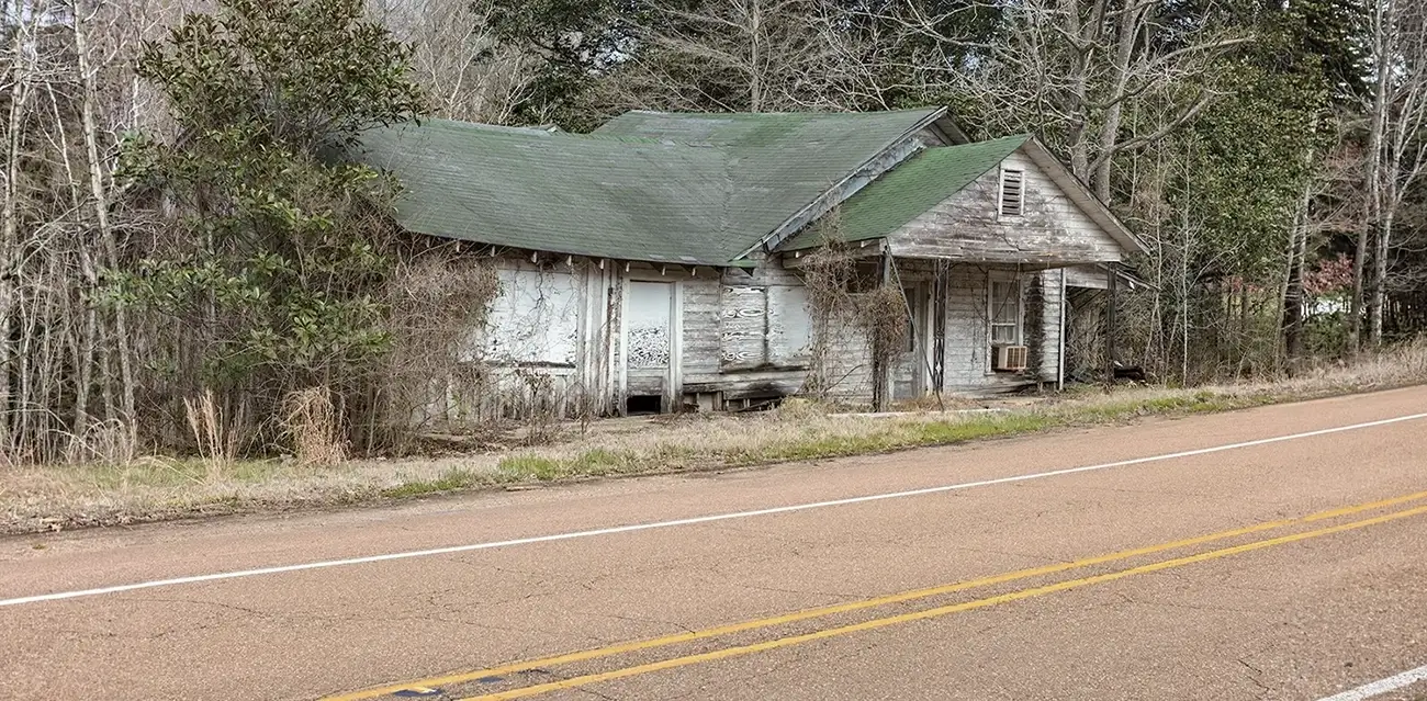
Vacant & deteriorated property monitoring
Identify vacant, abandoned, and deteriorated properties with PropertyQC, maintain current lists, and support valuation decisions and neighborhood improvement efforts.
Solutions that modernize property assessment
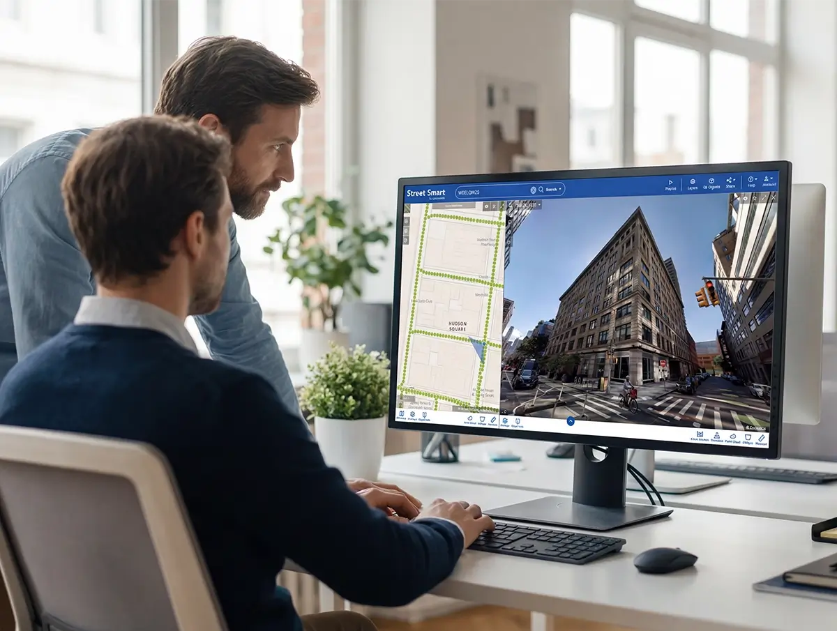
Cyclomedia brings together 360° Street‑Level Imagery, LiDAR Data, and PropertyQC analytics in the Cyclomedia Street Smart platform, giving assessors a single place to review properties and related tax information.
IAAO MARP‑aligned imagery
High‑resolution street‑view imagery supports computer‑assisted office review as recommended in MARP Section 3.3.5, reducing dependence on full re‑inspections.
360° Street‑level imagery
See each property from multiple angles, verify grade and condition, and compare years of capture to understand how parcels have changed over time.
LiDAR‑driven measurements
Use LiDAR‑enhanced data to measure structures and surroundings with high accuracy, supporting more precise records and confident valuation support.
PropertyQC analytics
Automatically identify and grade vacant, abandoned, and deteriorated properties so teams can prioritize reviews and address issues affecting the tax base.
Vacant property lists
Maintain up‑to‑date vacant property lists by combining imagery‑derived insights with public records and tax data for better oversight and planning.
CAMA & GIS integrations
Connect imagery and property insights directly into CAMA and GIS systems so assessment teams work from the same current, geospatially aligned data.
Remote inspection workflows
Enable appraisers and inspectors to review properties from the office, reserving site visits for exceptions and complex cases that truly require them.
Cross‑department use
Share the same imagery and property data with public works, planning, and code enforcement to support coordinated action and better capital planning.
Reporting & transparency
Use clear visuals and documented measurements to explain assessments, support appeals, and demonstrate consistent treatment across properties.