Heading 1
Heading 2
Heading 3
Heading 4
Heading 5
Heading 6
Lorem ipsum dolor sit amet, consectetur adipiscing elit, sed do eiusmod tempor incididunt ut labore et dolore magna aliqua. Ut enim ad minim veniam, quis nostrud exercitation ullamco laboris nisi ut aliquip ex ea commodo consequat. Duis aute irure dolor in reprehenderit in voluptate velit esse cillum dolore eu fugiat nulla pariatur.
Block quote
Ordered list
- Item 1
- Item 2
- Item 3
Unordered list
- Item A
- Item B
- Item C
Bold text
Emphasis
Superscript
Subscript
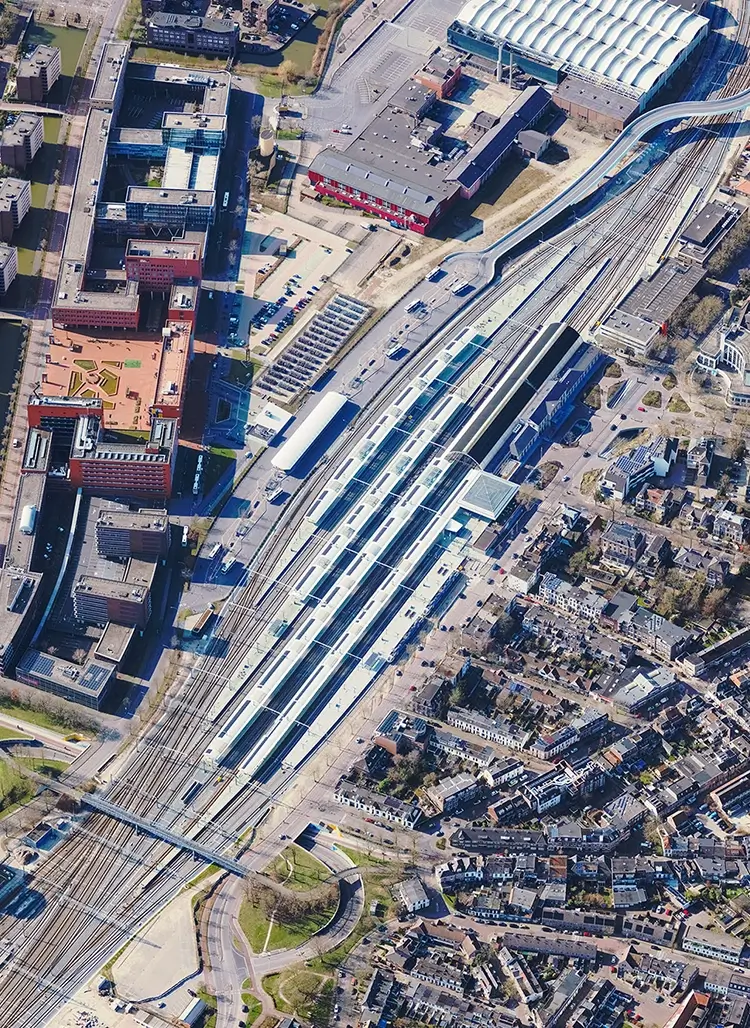
High resolution aerial imagery and LiDAR in The Netherlands and Belgium
Since 2008, Cyclomedia has been providing aerial photos and aerial LiDAR of the whole of the Netherlands. More recently also for Flaunders aerial data has become available. It enables governments and organizations to get a more complete understanding about public space, not just at street level, but also how assets, buildings, and parcels relate across entire areas.


Connecting street, aerial, and 3D data for a complete picture of public space
With decades of innovation in street level imagery and LiDAR data capture, Cyclomedia delivers a reliable digital representation of public space. Aerial imagery extends this foundation by adding a city, region or nation wide perspective that complements detailed street level views.
By combining nadir and oblique aerial imagery with street level and three dimensional data, organizations gain a more complete understanding of the outdoor environment. In addition Cyclomedia also offers a three-dimensional aerial point cloud.
This integrated approach supports informed planning, assessment, and decision making across large areas.
Complete aerial insight for better decision-making
By using comprehensive aerial context instead of fragmented sources, governments can gain a complete overview of their environment, improve planning and coordination, and deliver more efficient and transparent services to citizens.
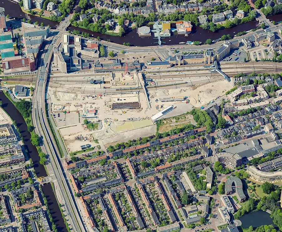
Aerial imagery provides large scale spatial context that supports analysis beyond individual streets. It helps organizations understand relationships between buildings, parcels, and infrastructure while enabling consistent and efficient area wide assessments.
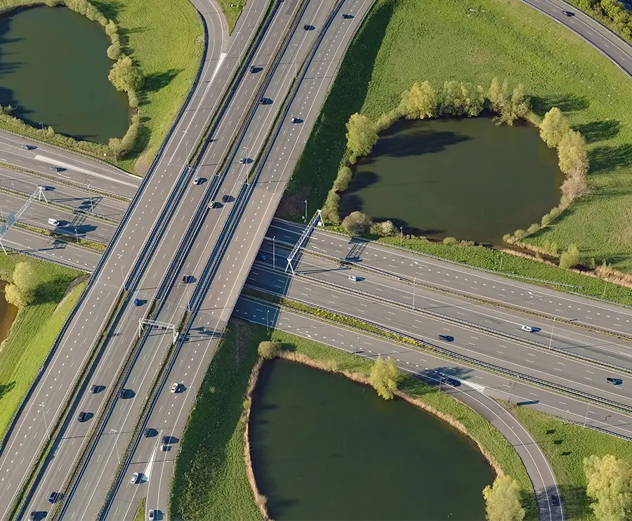
Add a wider context through nadir and oblique imagery
Aerial data delivers a broad overview of cities and regions using both vertical and angled views. This provides essential context for understanding how streets, buildings, and infrastructure connect at scale.
Reveal rooftops, façades, and parcels not visible from the street
By capturing rooftops and upper building structures, aerial imagery exposes information that cannot be seen from street level. This supports assessments related to property, development, and infrastructure placement.
Support urban planning and area wide analysis
Planners and analysts use aerial imagery to assess land use, development patterns, and spatial impact across entire neighborhoods or cities. This enables better informed planning decisions.
Complement street level data for a complete outdoor representation
When combined with street level imagery and LiDAR, aerial data completes the picture of the outdoor environment. Together, these datasets provide both detailed and contextual insight.
Improve understanding without stitching multiple data sources together
Using one integrated aerial dataset reduces reliance on fragmented or inconsistent sources. This improves efficiency, clarity, and confidence when working across large geographic areas.