Clear insights to support smarter city decisions
Use accurate 360° Street-Level Imagery, LiDAR Data, and Geospatial Data to understand urban environments, identify risks, and support safer, greener, and more liveable cities - without relying solely on field surveys.


Turn complex urban environments into clear insights
Cities face growing pressure from population growth, climate change, and increasing expectations from residents. Cyclomedia provides verified street-level imagery and LiDAR Data that help city teams understand public space conditions, assess risks, and plan improvements using a consistent, shared digital view of the city.

From fragmented data to coordinated smart city planning
Urban challenges often span multiple departments, from mobility and safety to sustainability and taxation. By centralising visual and spatial data in one platform, Cyclomedia enables cities to align teams, reduce uncertainty, and make informed decisions based on a reliable, up-to-date representation of the urban environment.
How Cyclomedia supports smart city initiatives
Cyclomedia supports smart city programs across mobility, sustainability, safety, and governance. Each use case combines visual context and spatial data to help cities plan more effectively and respond to urban challenges with confidence.

Smart mobility and transport planning
Analyse road layouts, traffic infrastructure, and public space to support safer mobility and more efficient transport planning.

Sustainable and green city planning
Use visual and spatial data to support climate resilience, green space monitoring, and sustainable urban development decisions.
Urban safety and risk awareness
Assess accessibility, visibility, and environmental risks to support safer public spaces and emergency preparedness.
Solutions that enable smarter city management
Combine 360° imagery, LiDAR Data, and platform tools to build a reliable foundation for smart city analysis, planning, and collaboration.
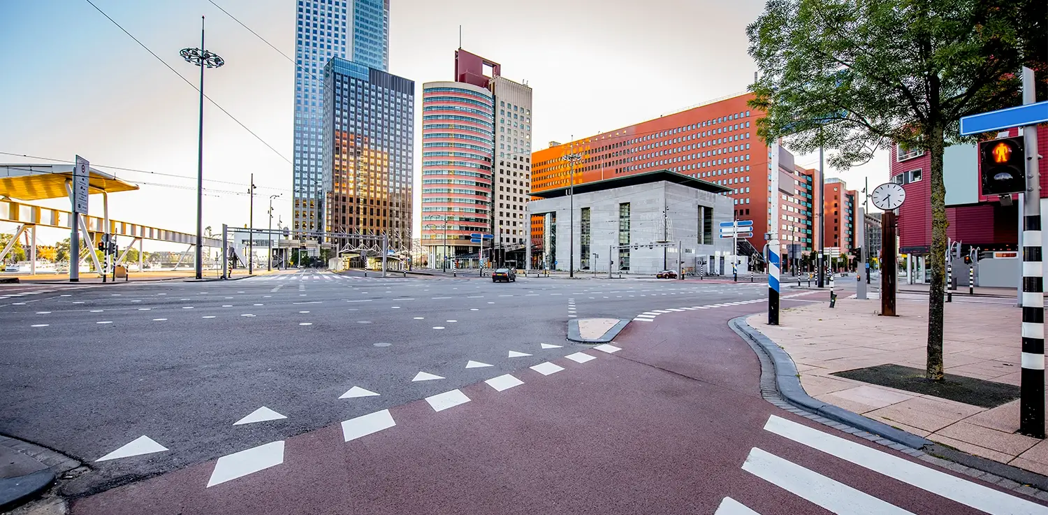
360° Street-level imagery
Explore streets and public spaces remotely to understand layout, condition, and context.
LiDAR data
Use 3D spatial data to analyse heights, distances, and urban form with accuracy.
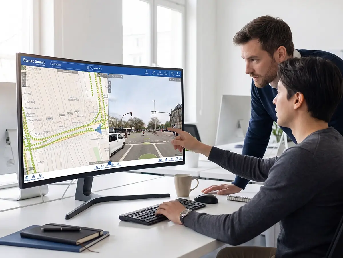
Street Smart
Central environment for visual analysis, measurement, and cross-department collaboration.
Mobility and transport insights
Support mobility planning by reviewing infrastructure, signage, and street design.
Sustainability monitoring
Assess green spaces, surface materials, and urban features that influence sustainability.
Urban safety analysis
Review accessibility, sightlines, and public space design to support safer cities.
GIS integrations
Integrate smart city insights into existing GIS and urban management workflows.
Digital twin infrastructure
Use realistic digital representations to support scenario analysis and urban planning.
Infrastructure Intelligence
Combine visual and spatial data to support informed, coordinated city decisions.