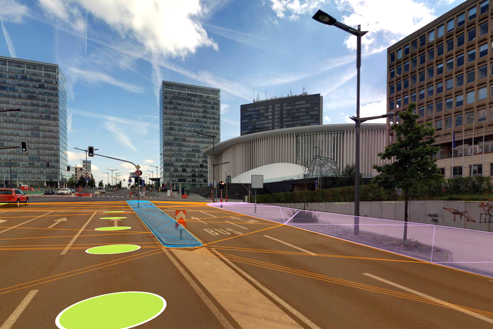
Surface insight for safer, more informed infrastructure decisions
Use accurate 360° Street-Level Imagery, LiDAR Data, and Geospatial Data to assess pavement condition, understand surface types, and evaluate elevation-related risks—without relying solely on field inspections.


Clear insights into pavement condition and surface characteristics
Road authorities and infrastructure owners need consistent insights into pavement quality and surface composition. Cyclomedia provides verified street-level imagery and LiDAR Data that help teams review conditions remotely, prioritise maintenance, and support planning decisions with reliable visual and spatial evidence.
From reactive inspections to structured surface intelligence
Traditional pavement inspections are time‑consuming and difficult to scale. By combining imagery and elevation data in one environment, Cyclomedia enables planners and engineers to assess surface condition, identify risks, and maintain a consistent information base across projects and departments.
How Cyclomedia supports pavement and surface workflows
Cyclomedia supports pavement and surface management across planning, maintenance, and resilience programmes. Each use case combines visual context and spatial data to help organisations make informed decisions with greater confidence and consistency.

Pavement condition assessment
Review pavement condition using street-level imagery and spatial context to support maintenance prioritisation and rehabilitation planning.
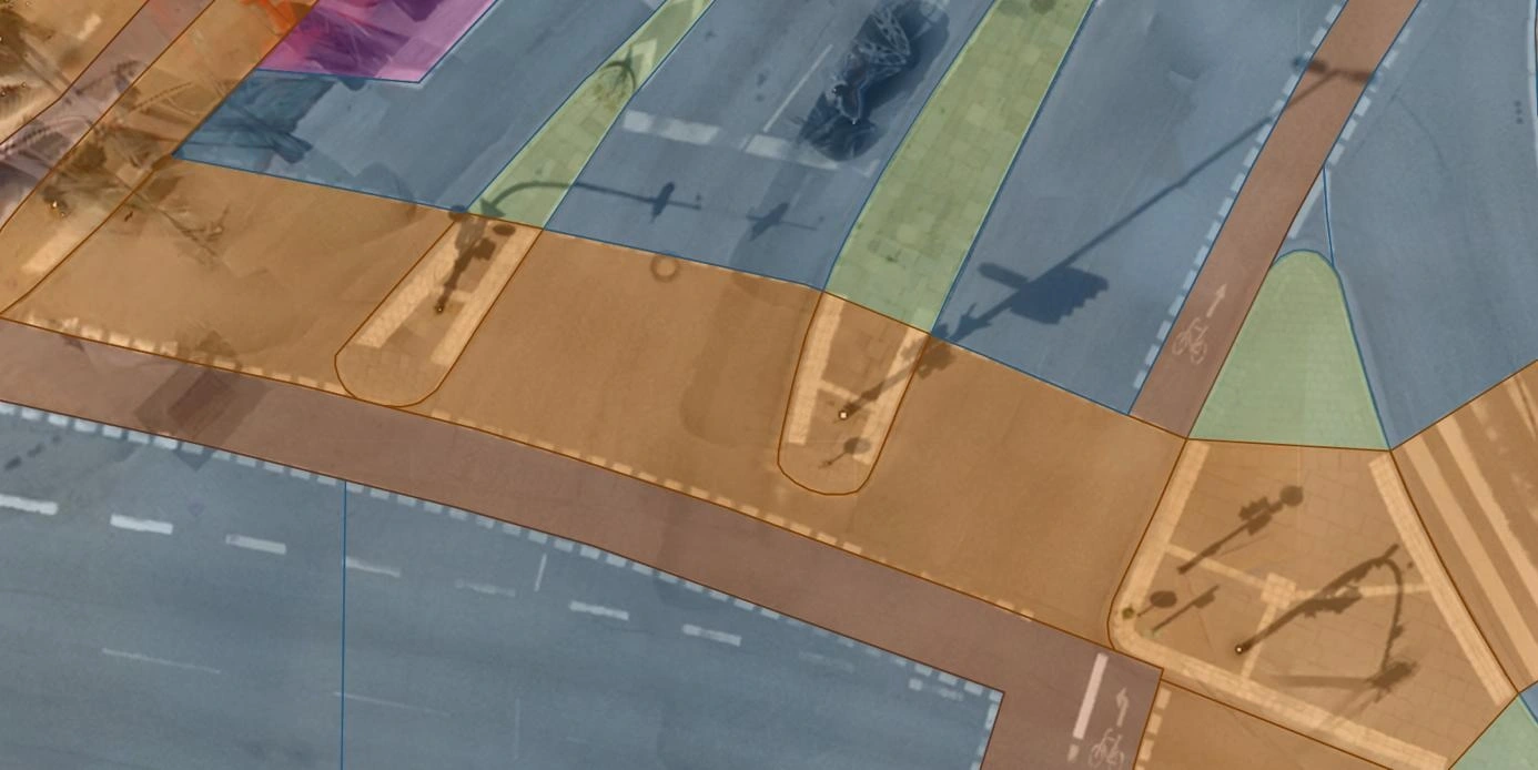
Surface type and material mapping
Identify and classify surface materials to support corridor planning, cost estimation, and construction preparation.
Elevation and flood risk analysis
Use elevation insights to understand drainage patterns and assess flooding risk when planning infrastructure works.
Solutions that strengthen pavement and surface decisions
Combine 360° imagery, LiDAR Data, and structured datasets to build a reliable foundation for pavement assessment, surface analysis, and long-term infrastructure planning.
Pavement condition review
Assess visible pavement condition indicators to support maintenance planning and lifecycle decisions.
Road surface analysis
Analyse surface characteristics and materials using imagery and spatial context.
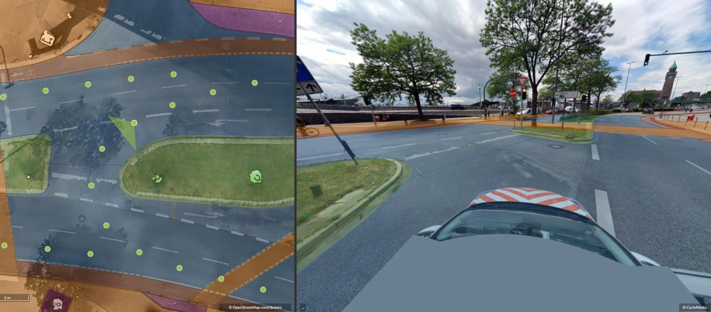
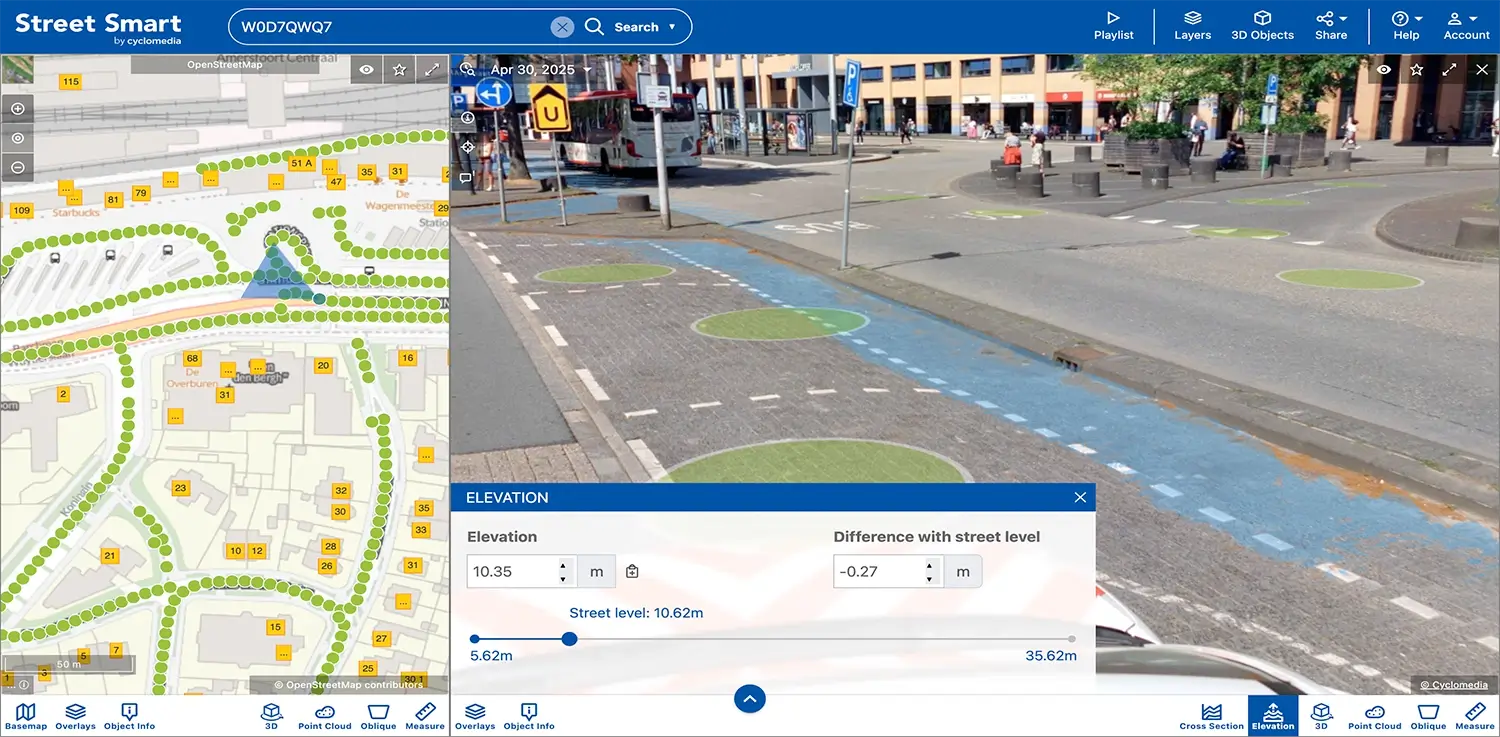
Elevation tool
Use elevation data to evaluate drainage behaviour and potential flood exposure.
Surface measurements
Extract consistent measurements from imagery and LiDAR Data for engineering and design tasks.
Flood risk insights
Understand how surface levels and materials influence local flooding vulnerability.
Underground works planning
Use surface and elevation insights to plan excavation, utilities, and reinstatement with fewer unknowns.
Corridor planning support
Support road and multimodal corridor planning with consistent surface and condition data.
Digital twin infrastructure
Use realistic digital representations to support scenario analysis and infrastructure planning.
Infrastructure intelligence
Combine surface, elevation, and condition data to support informed infrastructure