Precision insights for Europe’s evolving infrastructure
Cyclomedia turns Europe’s complex road corridors, public assets, and urban networks into measurable digital environments, helping infrastructure owners and operators shift from reactive maintenance to proactive, data‑driven planning across national, regional, and local networks.

Ageing networks require reliable, defensible real world data
Across Europe, infrastructure teams must maintain extensive road networks, improve safety, support decarbonisation goals, and justify investment. Without up‑to‑date, measurable insights integrated into planning and asset systems, planning becomes fragmented, reactive, and increasingly costly.

Limited visibility into true network and asset condition
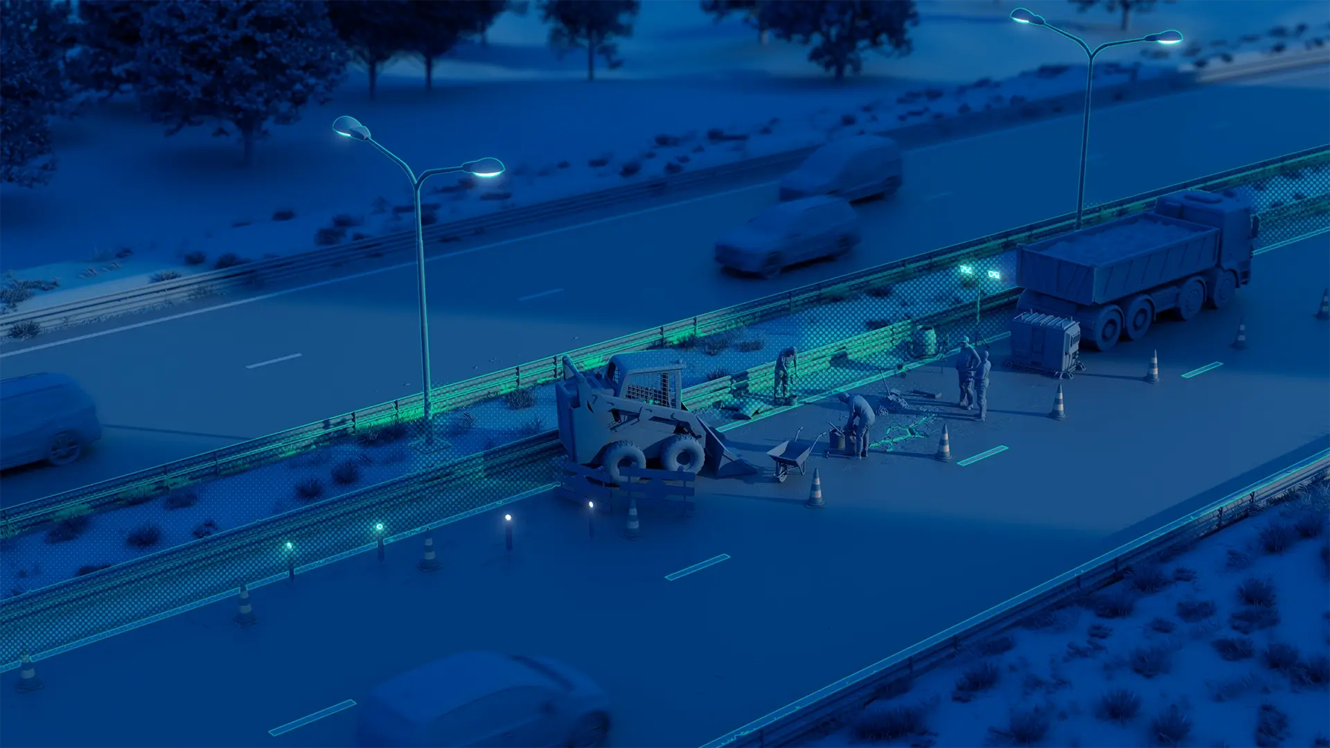
Traditional surveys slow down projects and raise operational costs
Inconsistent datasets hinder collaboration between authorities
Outdated records weaken funding bids and strategic proposals

Transforming real world networks into measurable digital insights
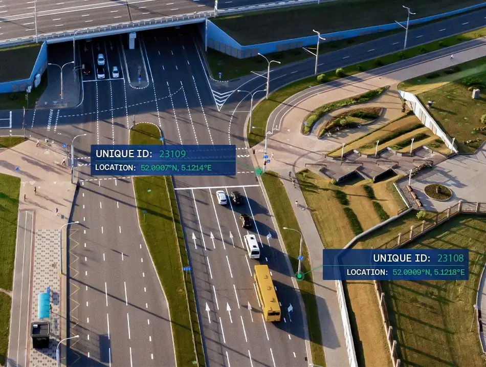
Europe’s roads and public spaces are captured ny Cyclomedia in high‑resolution 360° imagery and LiDAR, integrating with GIS, asset management systems, and digital twin environments. This provides a consistent, measurable foundation for safety analysis, condition reporting, planning, and long‑term investment strategy.Cyclomedia supports infrastructure owners and operators with measurable, repeatable insights that fits existing digital ecosystems and enterprise workflows.
Road surface analysis:
Measure pavement condition and surface defects using imagery and LiDAR to support proactive maintenance planning.
Corridor and mobility planning:
Understand constraints, safety issues, and modal priorities with accurate digital context for network and corridor planning.
Asset inventory and compliance:
Create defensible, GIS‑ready inventories of signs, markings, guardrails, structures, and roadside safety assets at scale.
Safety and risk assessment:
Identify hazards, sight‑line issues, and roadside risks through precise, real world measurements.
Design and pre‑engineering:
Use measurable 3D context to validate assumptions, reduce redesign cycles, and support engineering assurance.
Reliable, measurable insights for infrastructure networks
Reliable, measurable geospatial data supports infrastructure planning, delivery, and long‑term operations. A single, consistent source of truth strengthens collaboration between stakeholders, improves funding cases, and supports confident decisions across complex transport and public infrastructure networks.
Better decisions through accurate data
High‑precision imagery and LiDAR strengthen assessments, audits, funding cases, and strategic infrastructure planning.
Reduced field time and operational cost
Remote inspections reduce site visits, lower operational costs, and accelerate planning and review cycles.
Improved network safety and performance
Accurate visibility into conditions helps prioritise investment, improve safety, and meet European standards.
Supports digital twins and asset systems
Measured real world data strengthens digital twin models and improves confidence in asset management systems.
Consistent coverage at national scale
Repeatable, large‑scale capture delivers consistent insights across regions, networks, and jurisdictions over time.