Support fair, transparent property tax assessments
Use 360° Street-Level Imagery, LiDAR Data, and Geospatial Data to review property condition remotely, identify changes over time, and support consistent, evidence‑based property valuations.


A reliable visual foundation for modern property tax assessment
Property tax authorities are under pressure to deliver fair and transparent valuations while managing limited resources. Cyclomedia provides verified street-level imagery and LiDAR Data that help assessment teams review property condition, identify changes, and maintain accurate records without relying solely on frequent site visits.
From periodic site visits to structured desktop review
Traditional assessment cycles depend heavily on field inspections, making it difficult to keep records up to date across large areas. By combining visual and spatial data in one platform, Cyclomedia enables assessors to review properties remotely, focus site visits where needed, and apply a consistent approach across the tax base.
How Cyclomedia supports property tax assessment workflows
Cyclomedia supports property tax assessment across residential and commercial portfolios. Each use case combines visual evidence and spatial data to help authorities maintain accurate records, support fair valuations, and respond to changes efficiently.
Mass property appraisal
Review property characteristics and condition remotely to support consistent mass appraisal and reduce unnecessary site inspections.

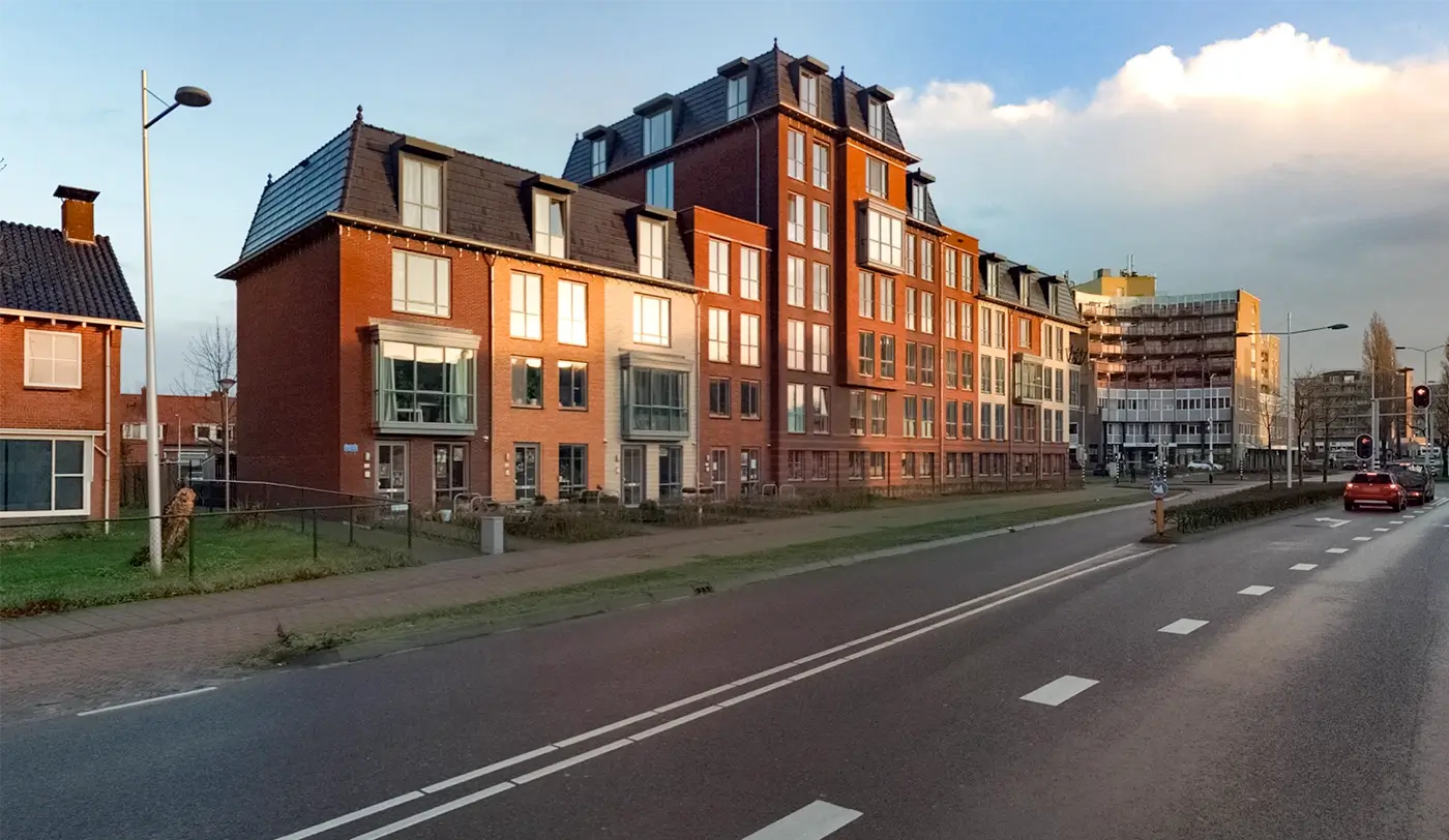
Remote property review and updates
Identify extensions, alterations, and visible changes using imagery captured over time to keep property records current.
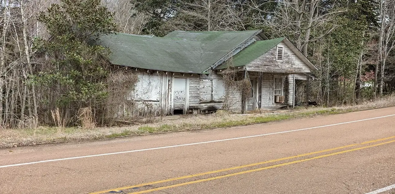
Vacant and underused property monitoring
Support the identification and monitoring of vacant or underused properties to inform valuation and wider policy decisions.
Solutions that strengthen property tax assessment decisions
Combine 360° Street-Level Imagery, LiDAR Data, and platform tools to build a reliable foundation for property review, valuation support, and record maintenance.
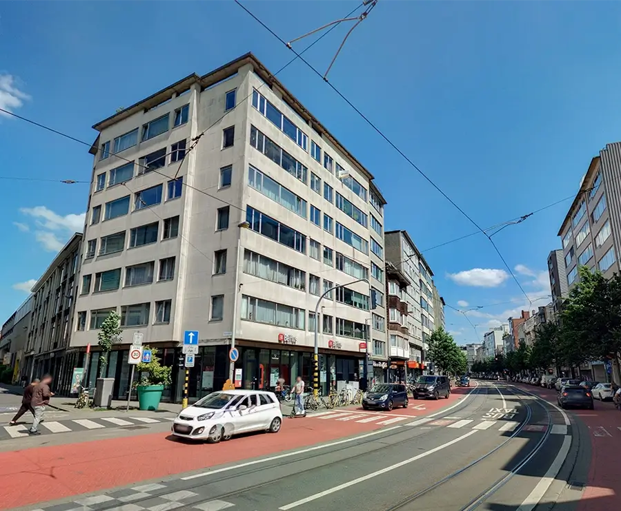
360° Street-level imagery
Review properties from multiple angles to assess condition, access, and visible changes over time.
LiDAR data
Use spatial data to understand building form, heights, and surroundings with greater accuracy.
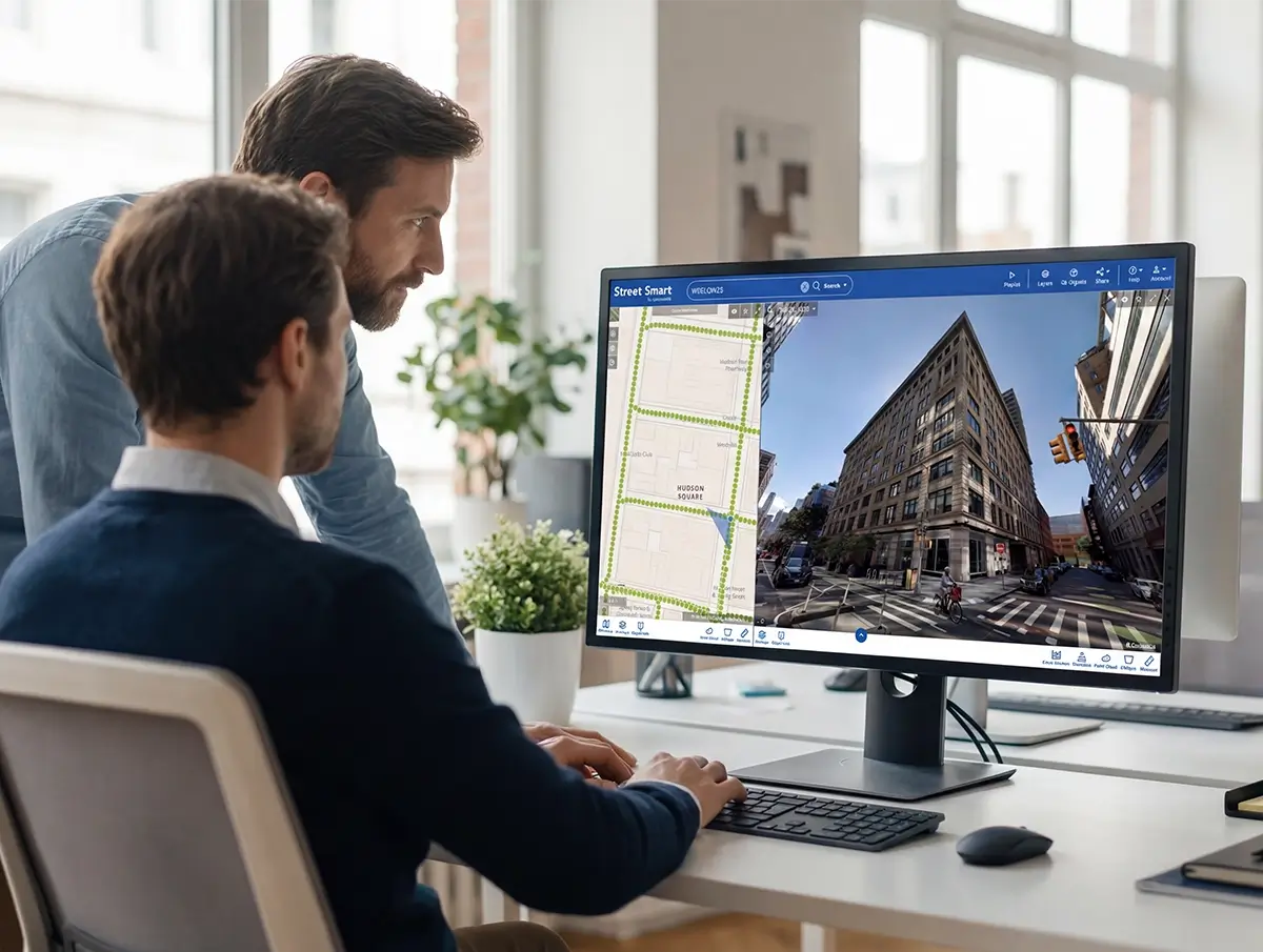
Cyclomedia Street Smart platform
Central environment for visual property review, measurement, and documentation across teams.
Change detection
Compare historical imagery to identify visible property changes that may affect valuation.
Property condition review
Assess external condition indicators consistently to support fair and transparent valuations.
Measurement tools
Measure distances, heights, and areas directly within imagery and LiDAR Data.
GIS integrations
Integrate property insights into existing GIS and valuation workflows.
Digital twin infrastructure
Use realistic digital representations to support scenario analysis and policy evaluation.
Infrastructure intelligence
Combine visual and spatial data to support informed, defensible property tax decisions.