Heading 1
Heading 2
Heading 3
Heading 4
Heading 5
Heading 6
Lorem ipsum dolor sit amet, consectetur adipiscing elit, sed do eiusmod tempor incididunt ut labore et dolore magna aliqua. Ut enim ad minim veniam, quis nostrud exercitation ullamco laboris nisi ut aliquip ex ea commodo consequat. Duis aute irure dolor in reprehenderit in voluptate velit esse cillum dolore eu fugiat nulla pariatur.
Block quote
Ordered list
- Item 1
- Item 2
- Item 3
Unordered list
- Item A
- Item B
- Item C
Bold text
Emphasis
Superscript
Subscript
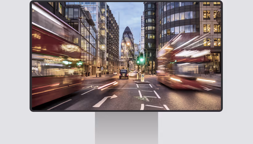
Visualise future plans directly within real street level context
Public organisations and infrastructure owners must clearly communicate planned changes before work begins. Whether managing permits, construction projects, or infrastructure updates, decisions benefit from a realistic view of how future situations will affect public space and surrounding assets.

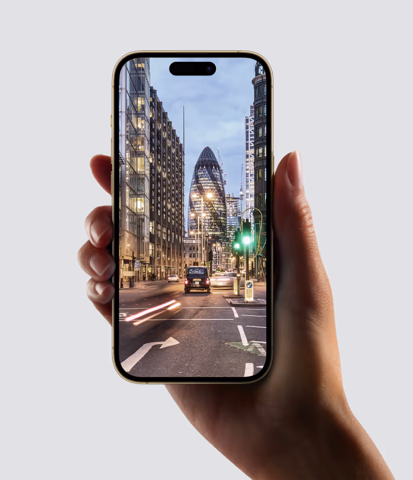
Easily place 3D objects in panoramic photos
With decades of innovation in street level imagery and LiDAR data capture, Cyclomedia provides a reliable digital representation of public space. 3D Objects builds on this foundation by allowing users to place their own three dimensional models directly into street level imagery. This makes it possible to visualise future scenarios in realistic context, supporting better preparation, communication, and decision making before plans are executed.
Whether you are applying for a permit or presenting planned roadworks, this feature will allow you to clearly visualise your plans and give real context to the situation. This results in a faster workflow, better decision-making, and a realistic representation of the future situation.
Bringing future scenarios to life in 3D
By visualising future scenarios instead of relying on static drawings, governments can better assess the impact of planned changes, engage stakeholders more effectively, and make more confident, data-driven decisions.
Visualise proposed changes in real street level context
3D Objects allow plans and designs to be viewed directly within existing street level imagery. This provides a realistic understanding of how changes will appear and interact with the surrounding environment.
Improve communication for permits and infrastructure projects
By visualising proposals within real world context, teams can communicate plans more clearly to stakeholders, decision makers, and the public. This supports permit reviews and infrastructure discussions.
Assess impact before work is executed
Seeing future scenarios in context helps organisations identify potential issues early. This supports better planning and reduces the risk of unexpected outcomes during execution.
Align stakeholders around a shared and realistic view
A common visual reference improves alignment between departments and external partners. Everyone works from the same clear understanding of what is planned.
Support faster decision making and project preparation
By reducing ambiguity and improving understanding, 3D Objects help teams move through review and preparation stages more efficiently. Decisions can be made with greater confidence and less rework.